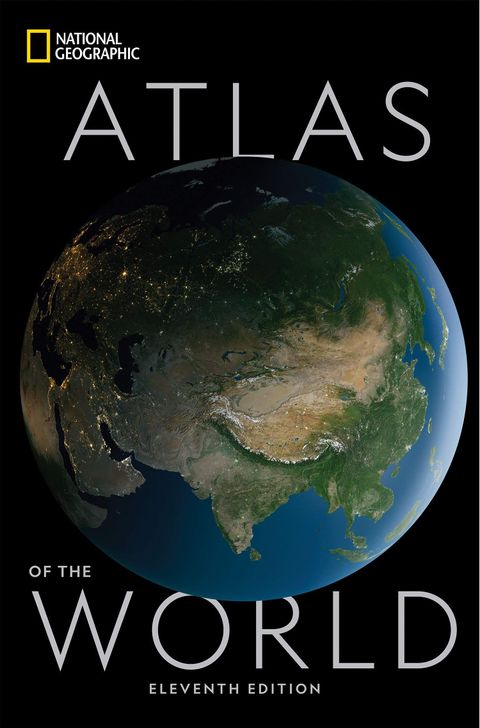
National Geographic Atlas of the World, 11th Edition
SynopsisPlot
National Geographic's flagship Atlas of the World, now in its 11th edition, provides authoritative maps of every country, ocean, and region of the world, as well as thematic maps and accompanying graphics showing important population, environmental, and economic patterns. Organized by continent and reflecting today's political boundaries and identities, this authoritative atlas is an indispensable reference for schools and libraries, as well as the latest resource for home browsing and study. A thematically organized opening section uses current data to visualize urgent concerns, such as Earth's last wild places, changing freshwater availability, human migration and refugee movement, and human rights conditions globally. The back of the book contains basic facts and flags of every country, as well as a comprehensive index cross-referencing more than 150,000 place names. A thought-provoking foreword by Alexander M. Tait, The Geographer of National Geographic, begins the book.
Story
About this book
The National Geographic Atlas of the World, now in its 11th edition, is a large-format reference containing political and physical maps for every country, ocean, and region on Earth. The maps are organized by continent and reflect current political boundaries. A foreword by Alexander M. Tait, The Geographer of National Geographic, opens the volume.
Beyond standard cartography, the atlas includes a thematic section that uses data visualizations to present global patterns and conditions. Topics covered include Earth's remaining wild places, shifts in freshwater availability, human migration and refugee movement, and the state of human rights around the world. Population, environmental, and economic data appear through accompanying maps and graphics throughout the book.
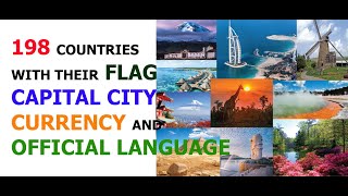
The back of the atlas gathers basic facts and flags for every country, along with a comprehensive index that cross-references over 150,000 place names. As a reference work, it is designed for use in schools, libraries, and homes. The scope of the index alone gives some sense of how densely the maps are labeled, and the thematic data sections distinguish this edition from a purely cartographic volume.